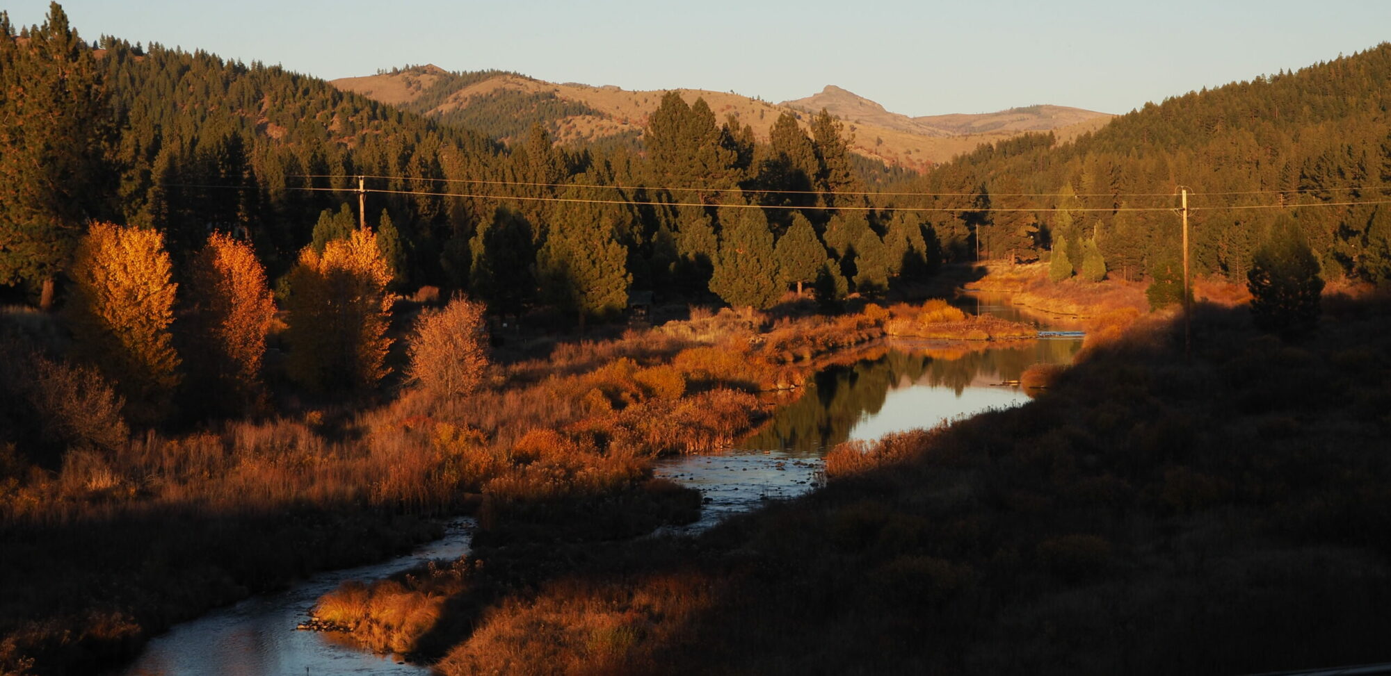
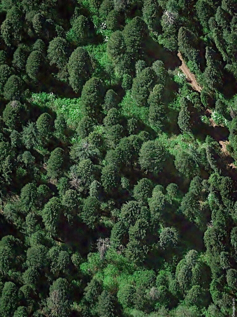
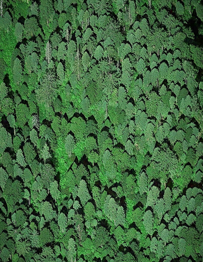
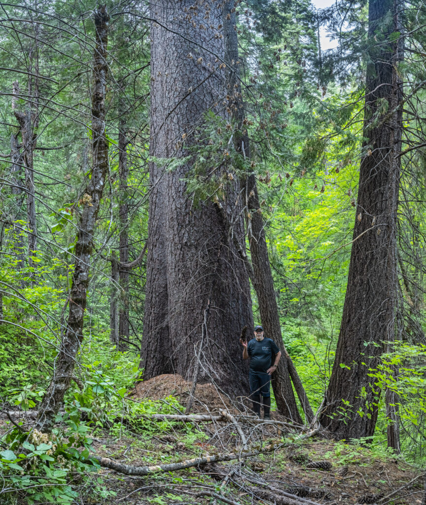
Mature, old growth forests near Strawberry Valley (around Lost Creek, above and Onion Creek, satellite image below) face up to 77% cutting (canopy reduction) by the USFS “Community Destruction Project” THIS FALL. The satellite photos you see represent large stores of carbon, much of which would be released to the atmosphere if the project goes ahead as planned (estimated at nearly 6 million tons of CO2 according to the Forest Service).
This would destroy the ecological integrity of these unique ecosystems, and allow faster and stronger drying winds and sun under the canopy, putting the forest (and nearby communities) at increased risk of climate devastation. These dense forests are adapted to hold in moisture and resist wildfire. They are already naturally protective of communities.
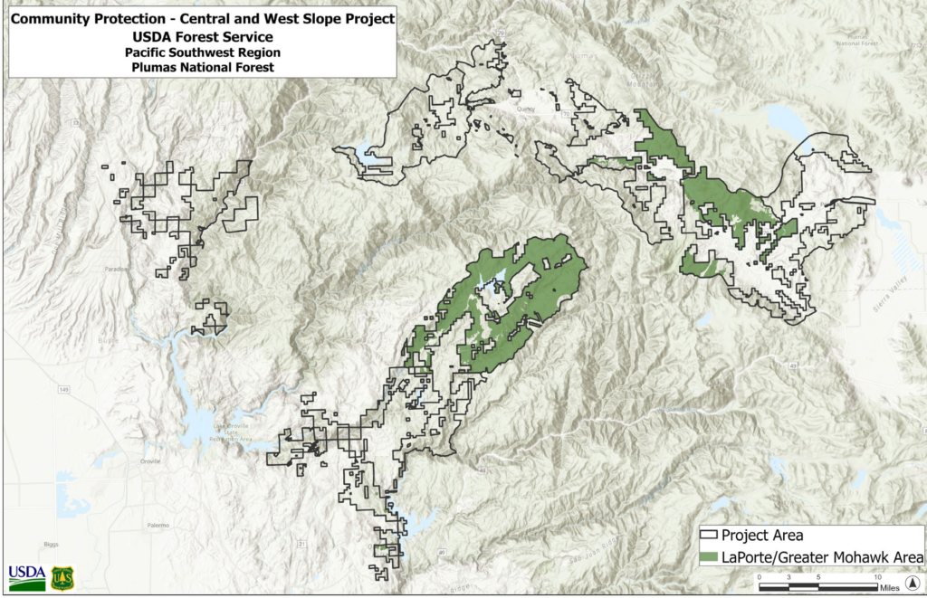
In addition to the Strawberry Valley area, areas to the north and south Mohawk Valley/ Graeagle/ Blairsden (especially to the north but also to the south) are at immediate risk of industrial logging as soon as November 2023. Please volunteer or donate to help us organize to stop this plan.
These areas are as close as the Sierra Nevada get to actual “rainforests” that include “lush understory of Pacific Dogwood, Big Leaf Maple, & vestiges of Tanoak, and perhaps most interesting of all Epithetic Lichens.”
More information and photos of very large trees in these areas, and specific mapping of threatened forests can be found here. Thanks to Joshua French for his work documenting these unique habitats before they are destroyed.
We need YOU to come to Plumas County and appreciate and defend these vital carbon-storing communities. Biomass is a false solution to the climate crisis!
