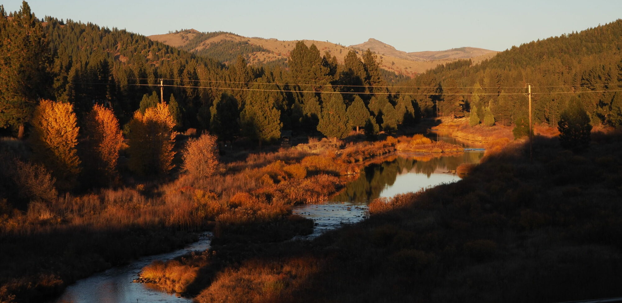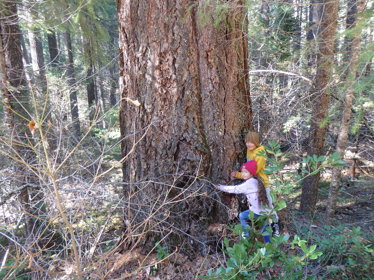
On Nov. 12th, FRA! led a public tour of areas threatened by the US Forest Service “Community Destruction” Logging Project. Much of this is truly old growth forest (that Biden claims to be protecting). However, by the time his protection order goes into effect (in 2025, depending on elections), much old growth and mature forest will already be gone or destroyed under emergency orders from Biden’s own Agriculture Dept. We demand a halt to extreme logging plans in the Feather River watershed, as these plans will only exacerbate the harm the Forest Service claims to want to prevent.
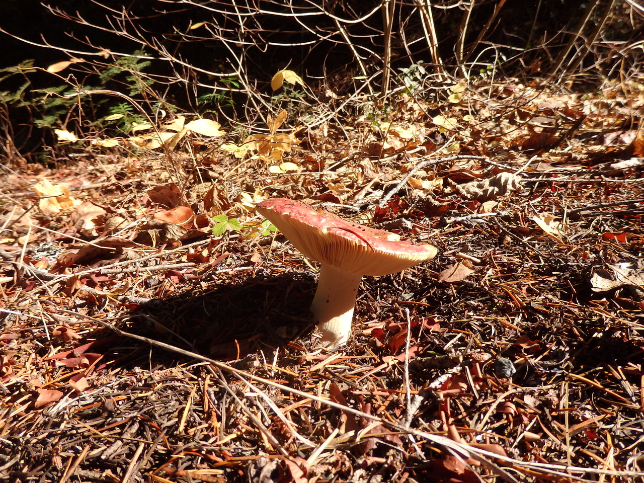
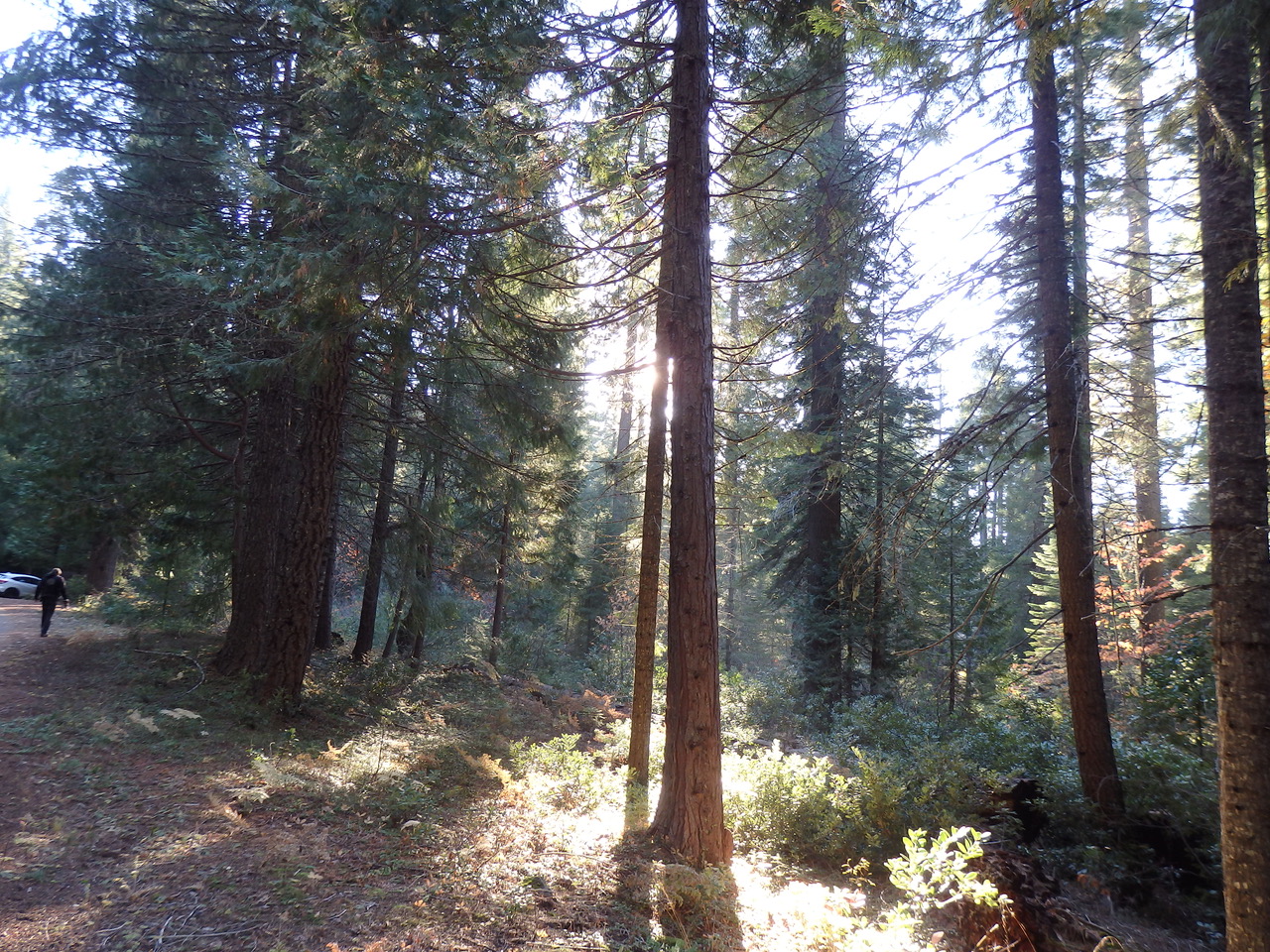 If the Strawberry Valley area were in any other country in the world, it would be a national park, preserved for all time as a pride and treasure. But in the US, it is (apparently) considered an expendable area for the biomass and timber industries. This is an incredibly unique Sierra rainforest ecosystem that must be protected. When we visited this fall, there were fungi everywhere, strawberry plants covering the ground, and large banana-like slugs crossing the road. A rare, coastal-like forest in the middle of the Sierras.
Take a drive up La Porte Rd. in Plumas County and see for yourself what a unique, rainforest environment this is. The area feels like a different world than the sierra mixed conifer and eastside pine forests common to the area. Strawberry Valley gets over 80 inches of liquid precipitation every year, and this contributes to faster tree growth (and thus carbon sequestration– and unfortunately attention from the timber industry).
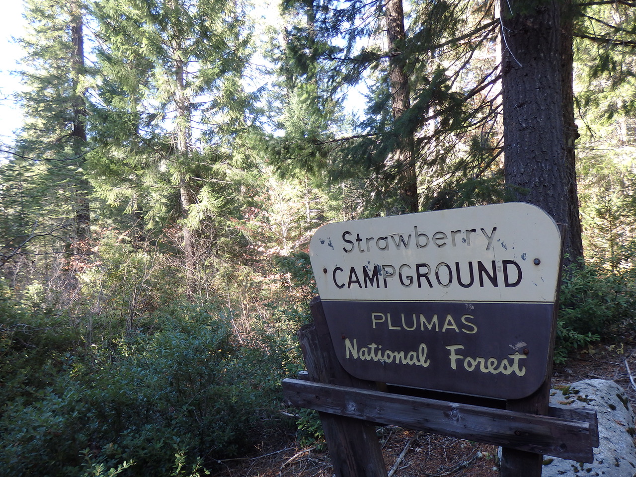
The right turn to Strawberry Valley campground (just past North Star) is paved but unmarked, and though the campground is closed for the season, you can park along the road and walk among the giant trees. The area is beautiful (and at risk!) and well worth a visit.
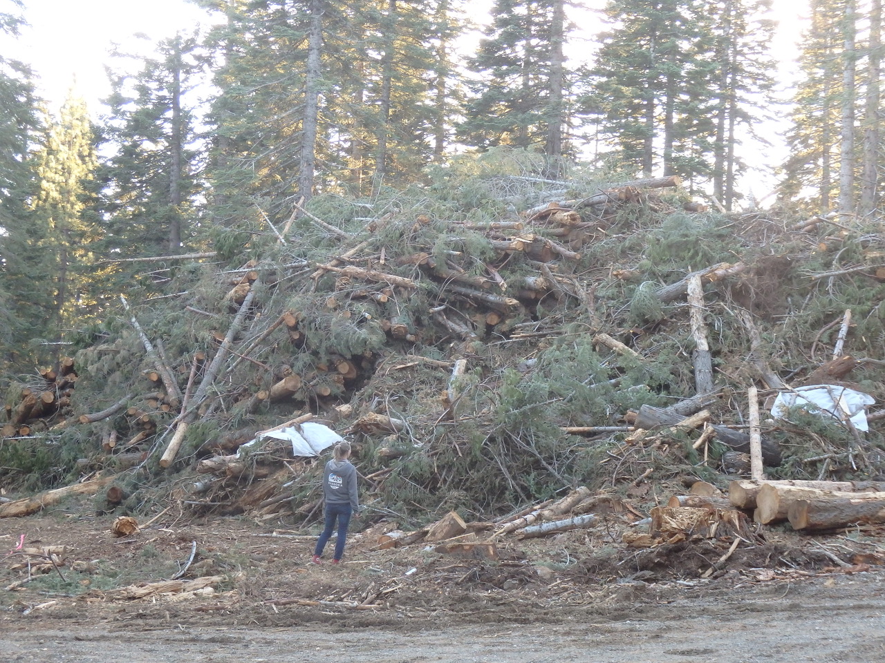
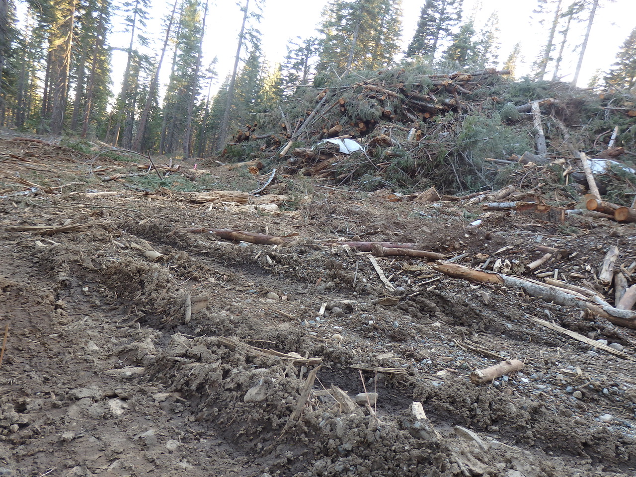
On our way back from Strawberry Valley, we witnessed industrial devastation of the forest along La Porte Rd. near Pilot Lake (apparently in the name of “forest management”). Soil was compacted and damaged, virtually all life was torn apart.
This is apparently what the US Forest Service wants to do to more than a quarter million more acres in Plumas and neighboring counties, in the name of “wildfire protection.”
Far from protecting communities, this kind of disturbance leads to flammable slash piles, thickets of small flammable trees and faster, wind driven wildfires through dried out forests. It’s too bad so many people have drank the Kool Aid and think this kind of destruction is okay (even some environmental groups!). It’s not JUST about fuels, it is also very much about aridity and wind speed which this kind of clear cut “thinning” is very good at increasing.
No industrial logging on public lands!!
Protect our communities, climate and forests!!
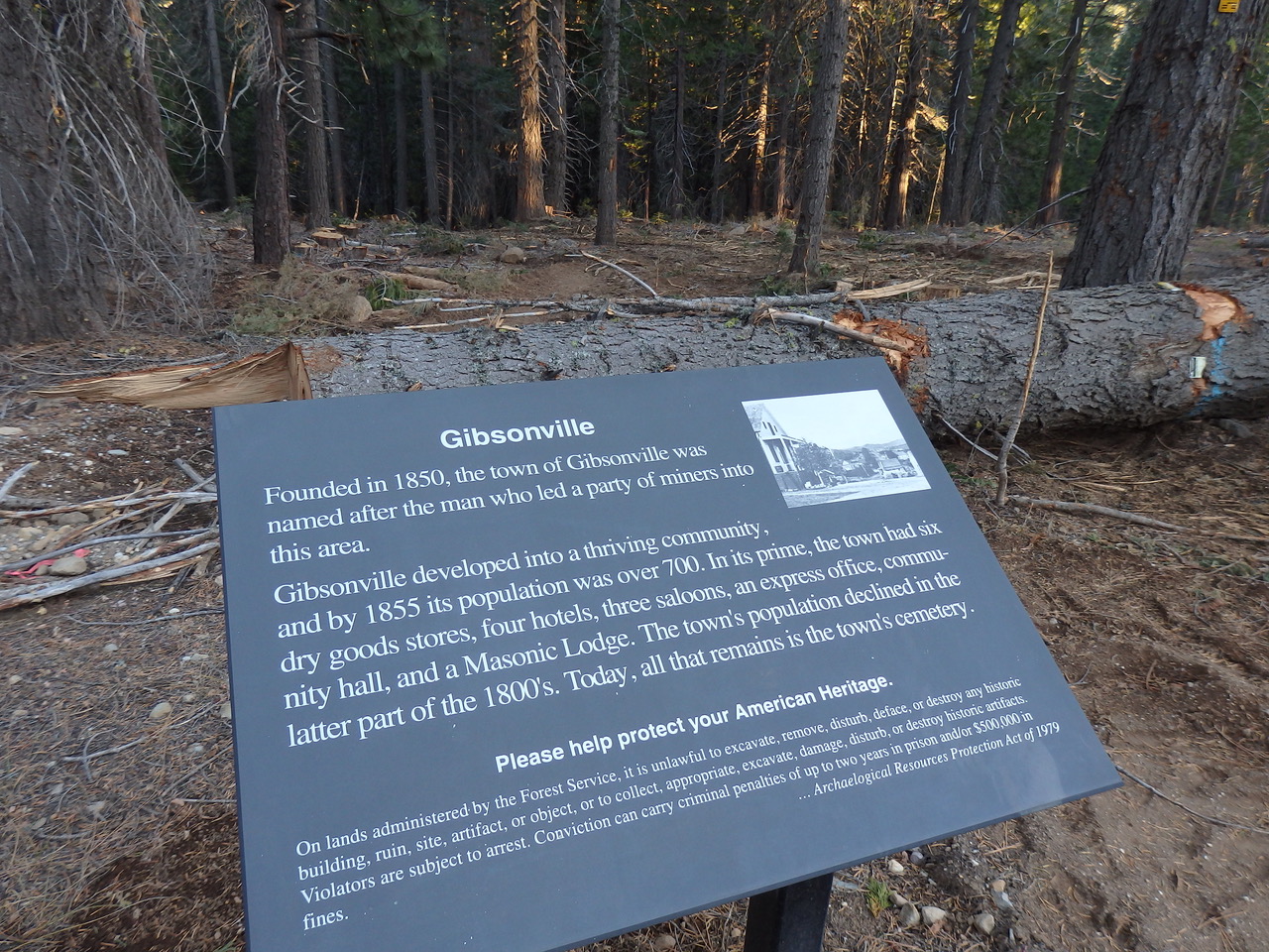
The sign right next to the devastated area states that “it is unlawful to excavate, remove, disturb, deface or destroy…(any object)”
Unfortunately no one read the sign before unleashing industrial equipment upon the public forest. According to the sign, “violators are subject to arrest.”
We have requested more information from the Forest Service about this vandalism and the perpetrators responsible and will post it here if and when we hear back.
 Plumas Forest Project, John Muir Project, and Feather River Action! have jointly filed a lawsuit in federal court to require the USFS to complete an Environmental Impact Statement on the Community Destruction Project.